PROTECTING WATER TO BUILD THE FUTURE: THE MONITORING SYSTEM BUILT INTO THE BBT PROJECT
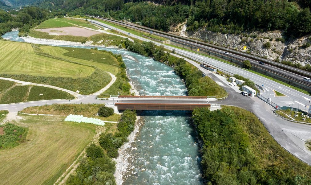
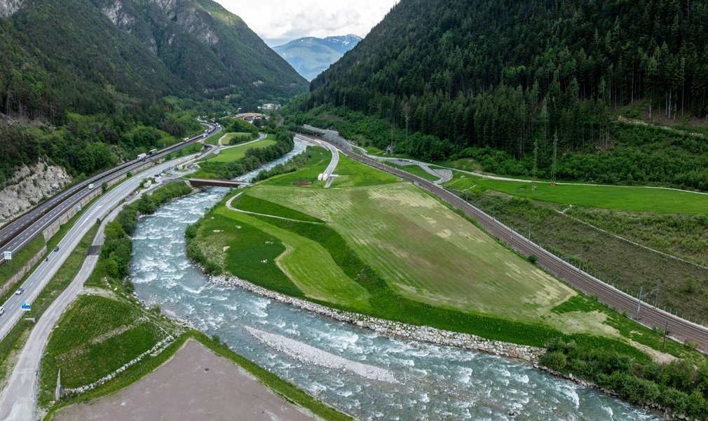
A respectful approach to the use of natural resources plays an important part in helping the environment coexist with the construction of the Brenner Base Tunnel project. The water resources in our project area have been carefully monitored ever since 2001, with 1,150 measuring points over 600 square kilometres. Our colleague Georg Orsi explains how this works.
How is the monitoring system set up and how is it implemented? How are the measurements carried out, and who analyses the results?
Every measuring point in our cross-border project area is checked at least once a month. This gives us a good overview of natural conditions, reflecting the changes in the water table levels over the course of the year. In order for the data to be comparable, the measurements must take place over the space of just a few days in the entire project area.
This means multiple teams are always on the move, carrying out measurements in all sorts of weather.
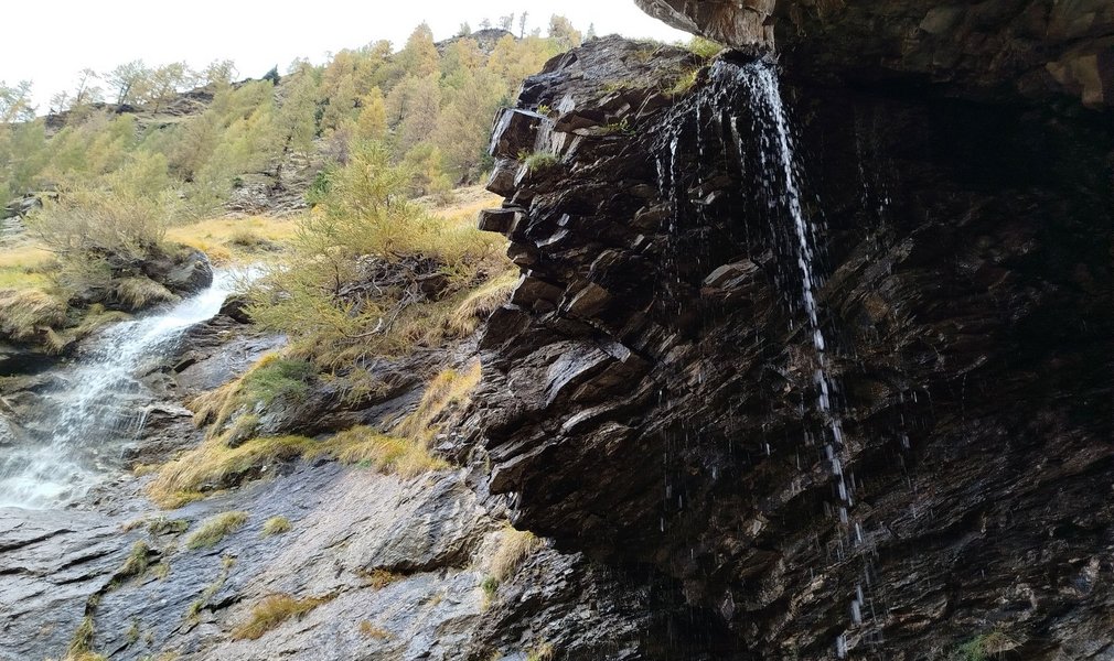
Different types of water resources are measured, such as springs, brooks, fountains, water table measuring stations, lakes and precipitation measurement stations.
In locations where construction is ongoing, weekly measurements are carried out in order to recognise and verify any impact due to the construction works.
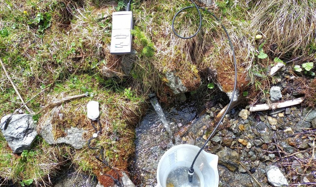
Data recorders are installed at important measuring points to gather continuous measurements. These data can be remotely sent directly to our technicians’ desktops.
Specific sampling is done twice a year - this is done monthly in construction areas - and sent to a lab for chemical and bacteriological testing.
Once all the data have been verified for plausibility, they are saved in a data bank and compiled in reports for the authorities
A water resource can undergo changes, such as reduced flow in springs or lower water tables, for natural reasons such as dry spells or low snowfall in winter and for this reason it is important to have a long series of data, starting well before construction activities begin. The water resource monitoring in this project began in 2001 with the first measurements on certain selected public water sources. For this reason, the data quality is very high.
Monitoring activities will continue for a set period once excavation works are finished, so as to recognize any long-term changes due to construction.
How important are your relationships with institutions and local authorities?
For these activities, as for many others, relationships with the local population (owners of land and springs) and with the Austrian and Italian authorities are very important.
On the one hand, monitoring activities take place in close cooperation with the water management authorities.
And furthermore, any changes, such as in the outflow of a spring, that may not be due to the construction work but merely to natural or technical causes, are reported to the owners so that they are made aware of the situation and can adopt any measures they may see fit. Water source owners can also request the data on their sources from us to have a clear idea of the conditions.
Some measurements activities take place in far-flung side valleys and one can make quite unexpected acquaintances, which is a fascinating part of the job.
What challenges do you encounter in your work?
The area where the project is being built ranges from the valley floors to the higher mountain meadows. Some measuring points are located in exposed spots on the mountainside and can only be reached on foot.
Taking measurements in the summer can simply mean a pleasant walk, but in the winter it requires skis and a lot of energy and effort.
The measuring teams can face cold snaps with double-digit below-freezing temperatures, like those in early January 2026, meaning that measuring points have to be cleared of snow and de-iced to carry out the measurements.
This means that logistics and risk evaluation are both very important. Precisely for this reason, avalanche monitoring and management was set up specially for water resource monitoring activities, so the measuring teams can work safely even in the winter.