WHY IS THE BRENNER BASE TUNNEL NOT COMPLETELY FLAT?
However, the tunnel will not be completely flat. It will feature a slight longitudinal slope and a summit (the highest point) at the national border. The reason is related to water.
According to Article 7 of the 2004 Austro-Italian agreement for the construction of the Brenner Base Tunnel, the natural resources found during the works, including water, belong to the state in whose territory they are located.
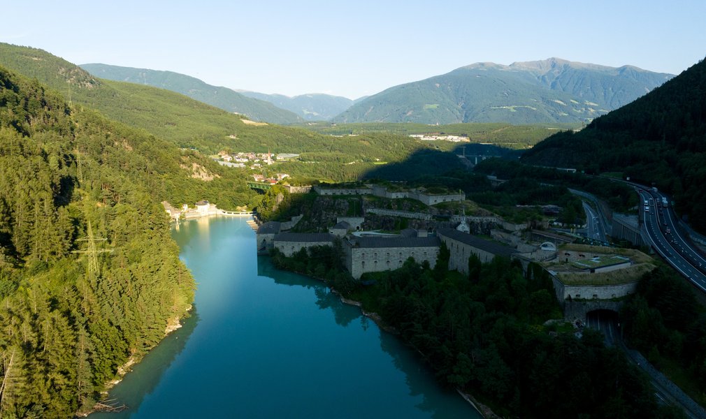
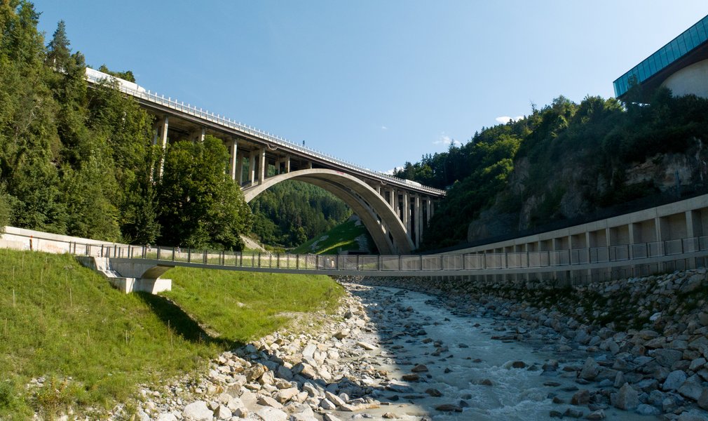
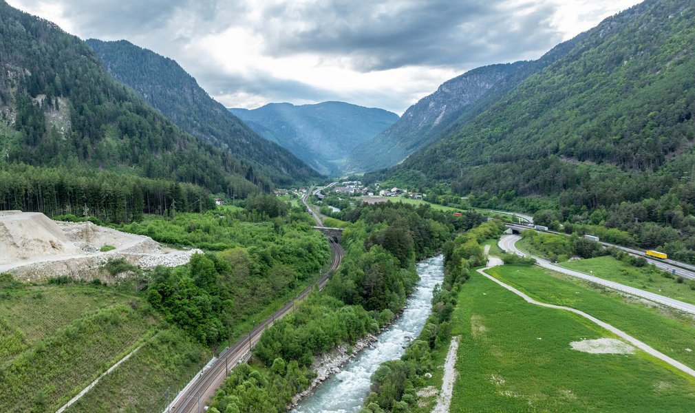
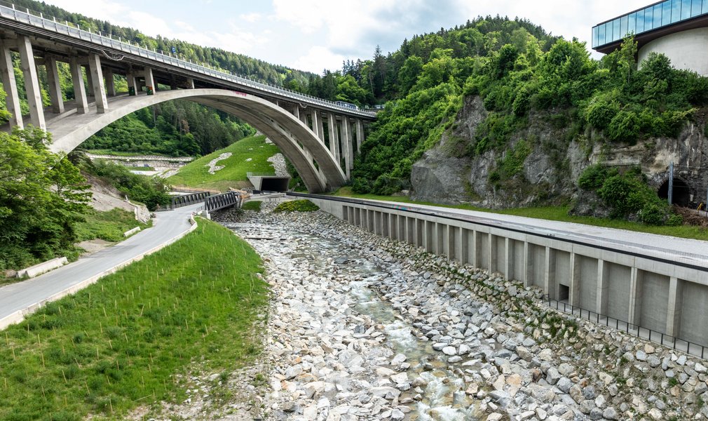
For this reason, the water originating from Austria flows northwards and the water originating from Italy flows southwards, without crossing the border. This is a technical choice that respects international law.
It is not only a matter of gradients, but of careful management of resources and the territory. Our colleagues in the Planning Department confirm the great commitment behind this project: "Water resources on both sides of the state border are a precious asset to be protected. For this reason, since 2001, they have been monitored at 1,150 measurement points, over an area of more than 600 square kilometres."
This is precisely what we celebrate today, 22 March: the ability of large infrastructures to coexist in harmony with natural resources. Are you curious to know how the monitoring of water works technically? We will talk about it in the next article.